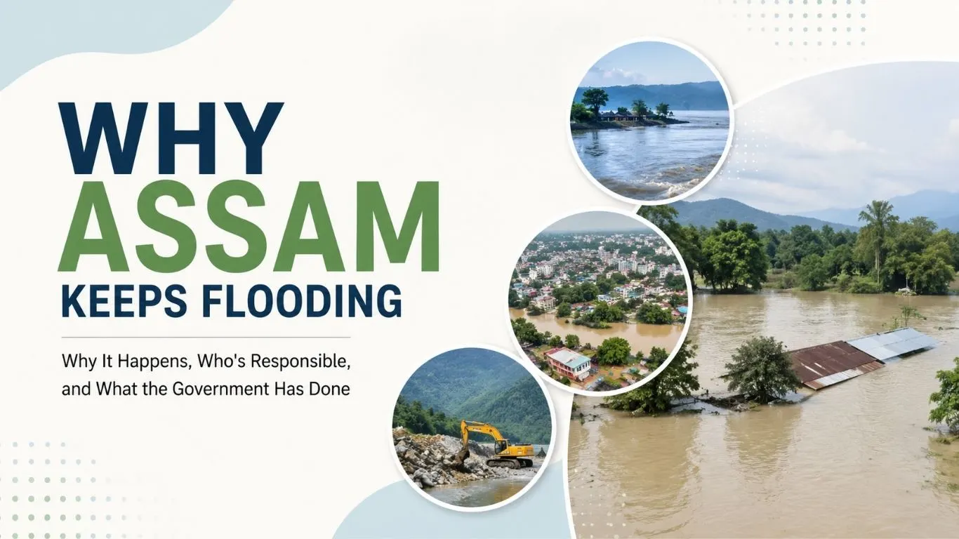
New Delhi: For families living along Assam’s rivers, floods are not an unfamiliar sight. Every monsoon brings the possibility of rising water, submerged homes, damaged crops and roads cut off from the rest of the state. But the 2026 Assam floods have once again raised a difficult question: why does a state that has dealt with floods for decades continue to suffer such extensive damage every year?
Assam’s flood crisis has been shaped by its geography, the Brahmaputra’s enormous sediment load, the legacy of the 1950 earthquake, decades of dependence on embankments, riverbank erosion and ageing flood-control infrastructure. In 2026, concerns over deforestation, mining and unusually rapid rises in tributaries have added another layer to the debate.
Assam Floods 2026: What is the situation today?
The flood situation in Assam remains critical as of August 10. The death toll has reached 100, while around 1.37 lakh people remain affected, according to the latest reports based on official figures. Several districts continue to face flooding and relief and rescue operations remain underway.
The affected areas include districts such as Golaghat, Sivasagar, Hojai, Darrang, Lakhimpur, Jorhat, Karbi Anglong, Charaideo, Nagaon and Biswanath.
The scale of the crisis has changed as the waters have moved through different parts of the state. Earlier in the flood wave, Upper Assam districts including Sivasagar, Charaideo and Jorhat saw large areas submerged, with residents describing flooding that they said was unlike anything they had experienced before.
But understanding the current disaster requires looking beyond the latest rainfall. Assam’s vulnerability to floods was created long before 2026.
Why does assam flood every year?
Assam is naturally one of India’s most flood-prone states. The Brahmaputra and Barak river systems run through the state, while the surrounding hills send large volumes of water and sediment into the valleys during the monsoon.
The Assam government estimates that around 31,500 sq km, or 39.58% of the state’s total area, is flood-prone. It also says that about 4.27 lakh hectares of land have been eroded by rivers since 1950.
That geography means floods cannot simply be eliminated. The bigger problem is what happens when heavy rainfall meets a landscape already under pressure from erosion, sedimentation, settlements and infrastructure. And one event more than seven decades ago permanently changed that landscape.
Also read: DU, Gen Z and Northeast Students Join Assam Flood Relief Efforts
How did the 1950 earthquake change Assam’s flood risk?
On August 15, 1950, a massive earthquake struck the region near the India-China-Myanmar border. Estimated at around magnitude 8.6, it triggered hundreds of landslides in the hills feeding the Brahmaputra system.
The landslides sent huge quantities of rocks, soil and debris into the rivers. That increased the sediment flowing through the Brahmaputra system and contributed to the raising of riverbeds.
The consequences became clear within a few years. A major flood struck Assam in 1954, prompting the central government to develop a more organised flood-control strategy for the state.
That strategy would shape Assam’s relationship with its rivers for the next 70 years.
Why did Assam build thousands of kilometres of embankments?
Embankments became the centrepiece of Assam’s flood-control policy after the National Policy on Floods was adopted in 1954. The idea was straightforward: build barriers along rivers so that water remains within the river channel instead of spreading into villages and farmland.
Over the decades, Assam built more than 4,900 km of embankments, creating one of the largest such networks in India relative to the size of the state.
For millions of people living behind those embankments, they became the first line of defence against the Brahmaputra and its tributaries. But a flood-control structure can only protect people if it remains strong.
Ageing embankments making Assam floods worse
Many of Assam’s embankments are now decades old. According to the material examined for this article, 295 of the 423 embankments constructed since 1950 have crossed their designed lifespan, covering roughly 3,998 km.
That creates a recurring problem. During heavy rainfall, rising water puts pressure on structures that were built years ago. When an embankment weakens or breaches, water can enter settlements and farmland rapidly, turning a river that was already dangerous into a much larger disaster.
The problem is not new. Assam has experienced major floods repeatedly since the 1950s, including in 1962, 1972, 1977, 1984, 1988, 1998, 2002, 2004 and 2012.
A 2017 Comptroller and Auditor General report also flagged discrepancies in the use of flood-control funds and noted that several recommendations of the National Flood Commission had remained largely unimplemented.
That history raises an uncomfortable question: after decades of spending on flood control, are authorities still treating the symptoms rather than fixing the vulnerabilities?
Why is mining being linked to the 2026 Assam floods?
The debate has moved upstream this year. Coal, stone and sand mining in the hills along the Assam-Nagaland border has come under scrutiny after the unusually rapid rise of some rivers during the 2026 floods.
Researchers have raised concerns that deforestation and excavation can disturb slopes, reduce the land’s ability to absorb rainfall and send more soil and sediment into rivers. That sediment can reduce the amount of water a river channel can carry before it begins to overflow.
A 2026 analysis by The Indian Express quoted Gauhati University professor Dhrubajyoti Sahariah as saying satellite images showed extensive excavation along river valleys, possibly linked to mining, which could increase the flow of mud into rivers and reduce their carrying capacity. A retired IIT Roorkee water-resources professor also pointed to deforestation as a contributing factor.
There had been concerns before this year’s floods as well. Assam’s Water Resources Department reportedly warned the Sivasagar district administration in 2022 that sand and stone mining along the Dikhow river was increasing erosion risks.
But there is an important distinction between a potential contributing factor and a proven cause.
Did mining cause the Assam floods?
There is currently no independent scientific study establishing that mining caused the 2026 Assam floods. Opposition parties and local advocacy groups have argued that illegal mining and deforestation along the Assam-Nagaland border worsened the disaster. Nagaland-based groups, including the Konyak Union, have rejected those allegations.
Assam Chief Minister Himanta Biswa Sarma has also said there is currently no evidence directly linking mining to the floods. He has called for a scientific study, potentially involving IIT Guwahati or another expert institution, before reaching a conclusion.
That investigation matters because blaming one activity for a disaster as complex as Assam’s floods risks overlooking the other factors that have made the state vulnerable for decades.
Why did the rivers rise so quickly in 2026?
The unusual speed of the water-level rise is one of the biggest questions surrounding this year’s floods.
On July 19, the Dikhow river crossed its danger mark and reached its highest recorded flood level within hours. Later, the Dhansiri also overflowed, sending floodwaters across thousands of villages.
The flooding was particularly striking because some tributaries began causing widespread damage before the main Brahmaputra had reached its peak.
Researchers at Gauhati University’s Centre for Brahmaputra Studies suggested that the speed of the rise resembled the pattern associated with a glacial lake outburst flood, raising the possibility that a temporary blockage caused by landslide debris in the hills may have released water suddenly. But this remains a hypothesis, not a confirmed explanation.
The India Meteorological Department, meanwhile, did not classify the event as a technical cloudburst. It attributed the rainfall event to an extended period of extremely heavy rain.
Is climate change making Assam floods worse?
Heavy rainfall has always been part of Assam’s monsoon cycle. The question today is whether changes in rainfall patterns are making extreme events more frequent or intense.
Climate change is increasingly being discussed alongside Assam’s flood risk because warmer air can hold more moisture, potentially contributing to heavier rainfall events. But climate change does not operate in isolation.
When extreme rainfall falls on forests, hillsides and river valleys that have been altered by development, mining or deforestation, the resulting runoff and sediment movement can increase the pressure on rivers and flood-control infrastructure.
This is why researchers increasingly describe Assam’s flood problem as a combination of natural hazard and human vulnerability, rather than as a disaster caused by rainfall alone.
How are assam floods affecting people?
Behind every flood statistic is a family trying to protect what it can.
When water enters a home, the immediate concern is not the debate over river engineering. It is finding a safe place for children, moving livestock, protecting documents and saving whatever food and belongings can still be reached.
Earlier in the 2026 flood wave, large parts of Upper Assam were submerged, with floodwater reaching chest height in some areas. More than a lakh people were staying in relief camps at one stage, while rescue teams used boats to evacuate people from flooded areas.
The damage also continues after the water begins to recede. Floods destroy crops, damage roads and bridges, contaminate water sources and leave behind thick layers of sediment that can make some villages difficult to access.
For farmers, losing a crop can mean losing an entire season’s income. For families whose homes are damaged, rebuilding begins only after the immediate danger has passed.
That is why the cost of Assam’s floods cannot be measured only by the number of people currently under water.
How much is Assam spending on flood control?
Assam has continued to allocate significant funds to flood management. The state’s 2026–27 budget allocated ₹1,670 crore to the Water Resources Department for measures including embankment construction, wetland restoration and the Climate Resilient Brahmaputra Integrated Flood and Riverbank Erosion project.
The government has also announced damage assessment work to speed up compensation for affected families.
But the spending raises a larger policy question. If Assam continues to lose land to erosion, if embankments continue to age and if upstream catchments are being degraded, how much of the money is addressing the root causes of vulnerability and how much is being spent repairing damage after every monsoon?
What can Assam do to reduce flood damage?
Assam cannot stop the Brahmaputra from flooding. But it can reduce how much damage those floods cause.
That requires looking beyond embankments alone. Stronger maintenance of existing embankments, better drainage, wetland protection, riverbank erosion control and scientific management of floodplains all have a role to play.
Upstream catchments also need greater attention. If scientific investigations establish that mining, deforestation or other land-use changes are increasing runoff or sedimentation, enforcement will need to follow.
Better forecasting and early-warning systems can also give families more time to move people, livestock and essential belongings to safety.
Most importantly, flood management needs to move from a cycle of flood, relief, repair and repeat towards long-term basin-level planning.
Who is responsible for Assam’s flood crisis?
Nature created the conditions that make Assam vulnerable. The Brahmaputra is a vast, sediment-heavy river flowing through a low-lying valley, and heavy monsoon rainfall will always bring flooding.
But human decisions determine how destructive that flooding becomes.
The 1950 earthquake altered the river system. Decades of flood-control policy created thousands of kilometres of embankments. Many of those structures are now ageing. Riverbank erosion has continued to eat away at land. At the same time, concerns over deforestation and mining have raised questions about what is happening upstream.
The 2026 floods have therefore brought together problems that have been building for generations.
For the families whose homes and farms are under water, the distinction between a natural disaster and a man-made failure offers little comfort. What matters is whether the next flood arrives with enough warning, whether the embankment holds, whether the road remains accessible and whether there is a safe place to go.
That is ultimately the test Assam’s flood-management system must pass.
Assam Floods 2026: Frequently Asked Questions
Assam floods because of its geography, heavy monsoon rainfall, the Brahmaputra’s large sediment load, riverbank erosion and the overflow of its many tributaries. Ageing embankments and changes in land use can increase the damage caused by floods.
The 2026 floods have been linked to extremely heavy rainfall and rising levels in rivers and tributaries. Researchers are also examining the possible role of landslides, sedimentation, deforestation and mining. No single cause has been scientifically established.
Mining has been raised as a possible contributing factor, particularly because of excavation, deforestation and increased sediment flow. However, there is currently no independent scientific study proving that mining caused the 2026 floods.
The Brahmaputra carries enormous quantities of water and sediment through Assam. Its tributaries also bring water from surrounding hills, making the entire river system highly sensitive to heavy rainfall.
As of August 10, 2026, the reported death toll has reached 100.
The latest reports put the number at around 1.37 lakh people affected.