164 countries back Equal Earth map to show Africa’s true size; U.S. alone votes against, calls it a distraction
United Nations: The United Nations General Assembly has voted overwhelmingly to promote a new world map that shows Africa much larger while reducing the visual size of North America and Europe.
The resolution, formally titled “Correct the Map,” received 164 votes in favour, one vote against and six abstentions. The United States cast the only vote against the resolution. Estonia, Georgia, Lithuania, Moldova, Serbia and Ukraine abstained.
The non-binding resolution asks UN member states, international organisations and other institutions to use the Equal Earth map projection instead of the traditional Mercator projection for most educational, public and institutional purposes. Supporters say the change addresses a visual distortion that has affected world maps for about 450 years and made Africa and other regions near the equator look smaller than they really are.
What the New Map Shows
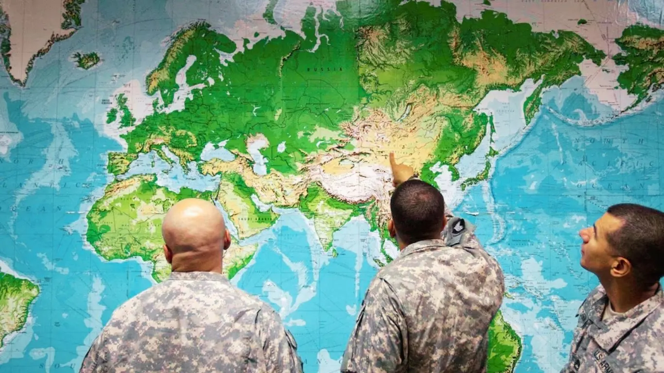
The familiar Mercator map makes Greenland look almost as large as Africa. In reality, Africa is about 14 times larger than Greenland.
The Mercator projection also makes the United States, Russia and China look larger than their actual areas. At the same time, it makes Latin America, South Asia and Oceania look smaller.
Cartographers Bojan Šavrič, Bernhard Jenny and Tom Patterson introduced the Equal Earth projection in 2018. The map uses an equal-area system, which keeps the relative surface areas of continents much closer to reality while keeping their shapes reasonably recognisable.
The difference becomes clear immediately. Africa appears much larger, Europe becomes smaller, North America loses its enlarged appearance, and Australia and South America gain greater visual prominence.
French Foreign Minister Jean-Noël Barrot, whose country co-sponsored the resolution, described the problem directly. He said the Mercator projection gives the United States, Russia and China “disproportionate visual prominence” compared with Africa, Latin America and Southeast Asia.
Barrot said distorted maps can eventually influence how people view the world. France has already announced plans to stop using the Mercator projection for official and educational purposes.
The Long History of the Mercator Map
Flemish cartographer Gerardus Mercator created the famous Mercator projection in 1569, mainly to help sailors navigate. The projection preserves angles and coastline shapes, allowing sailors to plot straight-line sailing routes known as rhumb lines.
That advantage helped the Mercator projection become the world’s most widely recognised map for centuries.
However, the projection creates major differences in the apparent size of land areas. It stretches regions near the North and South Poles and compresses regions closer to the equator.
Critics say this distortion has influenced how generations of schoolchildren, journalists, policymakers and ordinary people imagine the world. Europe and North America can appear much larger — and therefore seem more important — while Africa and other tropical regions appear much smaller.
Togo’s Foreign Minister Robert Dussey, who led the campaign on behalf of the African Union, strongly criticised this effect.
Dussey said maps influence education, imagination and people’s collective understanding. He argued that maps can never remain completely neutral when they present a distorted picture of the planet because those images can pass from one generation to another.
Dussey and other African diplomats have described the map change as an “act of cognitive justice.” The African Union has also argued for years that the Mercator projection has created a form of “symbolic minimization” of Africa in the global imagination.
The “Correct the Map” Campaign
The new resolution came from a wider campaign supported by the African Union that gained momentum in recent years.
Advocacy organisations such as Africa No Filter and Speak Up Africa encouraged schools, media organisations and international institutions to use equal-area maps.
The African Union formally supported the campaign, while Togo took the lead in bringing the issue before the UN General Assembly.
Supporters say the resolution does not attack Western countries or reject science. The resolution clearly recognises that the Mercator projection remains useful, and often preferable, for maritime and aerial navigation.
Instead, supporters want institutions to stop using a navigation-focused map as the default image of the world in classrooms, newsrooms, government offices and digital platforms when the relative size of countries and continents matters.
Togo has already committed to replacing Mercator maps in its school materials by the end of 2026. Other African countries are expected to follow.
United States Casts the Only Vote Against
The United States strongly opposed the resolution.
US representative Yaryna Ferencevych told the General Assembly that the resolution distracted the UN from more important issues.
She said the organisation should focus on international peace, prosperity and good relations instead of debating map projects from the 16th century and their connection with reparations and “cognitive justice.”
Ferencevych also called such initiatives one reason the UN is losing credibility. She accused the resolution of promoting an ideological agenda.
The United States became the only country to vote against the resolution.
The reference to “cognitive justice” and historical repair appears to have particularly concerned American diplomats, who have become increasingly critical of what they see as identity-focused and reparations-related resolutions at the UN.
Supporters reject that criticism.
They argue that accurate geography represents a factual issue rather than an ideological one. Before the vote, Dussey said, “A fair world begins with a fair map.”
Supporters also stressed that changing the map does not change the actual world. Instead, they say, correcting a long-standing visual distortion helps people understand the world more accurately.
Why the Difference in Size Matters
Cartographers and educators have studied for decades how map projections influence people’s understanding of geography.
When a map makes Africa look only slightly larger than Greenland or similar in size to Europe, students and adults can develop an inaccurate understanding of Africa’s physical size, population potential, natural resources and geopolitical importance.
Africa has more than 1.4 billion people and could account for a large share of global population growth during this century. The continent also has huge mineral resources, growing economies and major strategic importance.
Critics of the Mercator projection say that consistently showing Africa as smaller than it really is can reinforce old ideas that treat the continent as less important.
Geographers have promoted equal-area projections for years. These include Equal Earth and Gall-Peters, although Gall-Peters remains controversial because it creates significant distortions in the shapes of countries and continents.
Supporters argue that schools should use maps that show accurate relative areas when students need to understand the actual size of different regions.
What the UN Resolution Does — and Does Not Do
The resolution does not legally force countries to change their maps.
It remains non-binding and does not ask countries to ban the Mercator projection. It also does not declare Equal Earth the only acceptable world map.
Instead, the resolution encourages countries and organisations to use equal-area projections, including Equal Earth, in situations where accurately showing the relative size of continents matters.
The resolution also calls for international standards that could improve accuracy in both digital and printed maps.
The real impact will depend on how ministries of education, textbook publishers, major media organisations and technology companies respond.
Platforms such as Google Maps and Apple Maps could also face pressure to reconsider how they display the world.
Google Maps moved its desktop version to a 3D globe several years ago. However, the traditional Mercator-style view remains available and continues to appear as the default on many mobile applications.
The UN vote now gives supporters of map reform additional political and moral pressure to push for wider changes.
A Larger Debate About Africa’s Global Role
The vote forms part of a wider effort by African and other Global South countries to gain greater influence and recognition in international institutions.
The decision also comes as Western governments face growing debates over initiatives that critics describe as “woke” or focused on reparations.
The US description of the resolution as a distraction from more serious global problems reflects that wider disagreement.
Cartography experts generally support using the Equal Earth projection for educational purposes, but they also warn that no flat map can represent the Earth perfectly.
Every map projection involves compromises.
Equal Earth gives greater priority to accurate land area while maintaining reasonably recognisable shapes. Mercator gives greater priority to navigation and shape but sacrifices accurate area.
Both projections therefore have legitimate uses.
Professor Mark Monmonier of Syracuse University has argued for years that outside specialised navigation uses, little reason exists to keep Mercator as the main world map in classrooms and public discussions.
What Happens Next
Countries will likely implement the resolution at different speeds.
Some governments may quickly introduce equal-area maps in schools and official publications. Others may ignore the resolution.
Digital platforms will make their own decisions based on user experience, technical standards and public pressure.
The African Union and its member states are expected to continue pushing for wider adoption.
For ordinary people, the most noticeable change could come the next time they open a school textbook, visit a news website or look at a classroom wall map and see Africa appearing much larger than they remember.
That visual reaction represents exactly what the resolution’s sponsors want.
The United Nations has not changed the geography of the planet. It has, however, formally recognised that the images people use to understand the world can influence how they think about it.
Those images have, for centuries, created a systematic distortion.
Whether the UN resolution produces lasting changes in classrooms, textbooks, newsrooms and digital platforms remains uncertain. However, the vote created a rare moment in which cartography, history, politics and public perception came together on the floor of the General Assembly.
The United States stood alone against the resolution.
As Togo’s foreign minister put it, a fair map does not change the geography of the world. It changes how people see the world.